First Alert Weather Day Declared: Less Than One Inch of Rain Expected in Western Carolinas
A cold front brings overnight thunderstorms and morning commutes in the rain to the Upstate, with temperatures climbing to the low 70s before a sharp cool-down begins Friday.
By Justin Brooks ·
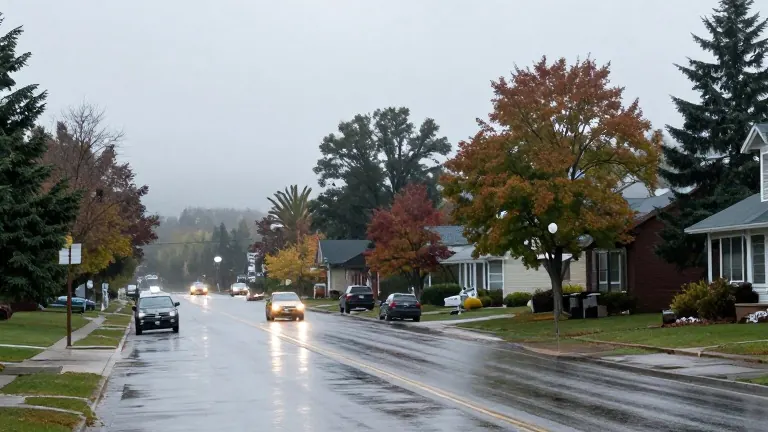
Western Carolinians face a wet commute on Thursday as a cold front pushes rain and thunderstorms into the region from the west. Weather services have issued a First Alert Weather Day for the period spanning Wednesday night through Thursday morning. The alert signals that wet conditions will directly impact travel during the early morning hours across the Greenville area and surrounding Upstate communities.
The heaviest precipitation arrives overnight Wednesday as a pre-frontal band of storms crosses the area. Forecasters identify this period as the primary window for the most intense rainfall rates. Despite the strong storms, the risk of flooding remains low. The system is moving at a steady pace, and the region has experienced little to no rain for the preceding three weeks. Most locations will accumulate less than one inch of total rainfall.
Severe weather parameters are generally low, but forecasters caution that a strong thunderstorm cannot be completely ruled out. The principal hazard is damaging straight-line winds rather than tornadoes. Because the most likely time for a strong storm is during the overnight hours, residents are advised to ensure they have a reliable method for receiving weather warnings. The rain continues through the Thursday morning commute before the system moves through quickly.
Conditions improve rapidly by midday Thursday. Partly sunny skies return as temperatures jump into the low to mid 70s behind the departing front. The warm pattern persists into Friday, which will be dry and feature highs in the mid 70s for the Upstate and the upper 60s in the mountains. These figures place temperatures five to 10 degrees above normal for the time of year.
A distinct cooler trend begins Friday night and continues through the weekend. Overnight lows will drop into the 40s and around 50 degrees across the Western Carolinas, marking one of the coolest mornings in over a week. Saturday offers mostly sunny skies but cooler temperatures, with highs in the upper 60s to low 70s in the Upstate. Sunday follows with similar sunny conditions and highs in the mid to upper 60s.
The cooling trend sharpens as the weekend progresses. Overnight lows will dip into the 40s on Saturday night. By Sunday night, temperatures will fall into the upper 30s to low 40s across the region. This drop in overnight temperatures serves as a concrete indicator of the seasonal shift toward winter. The clear and cool weather pattern is expected to persist through the end of the week.
Source: FOX Carolina